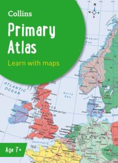
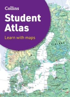
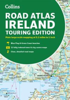
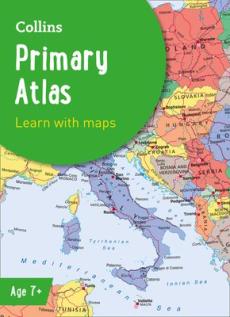
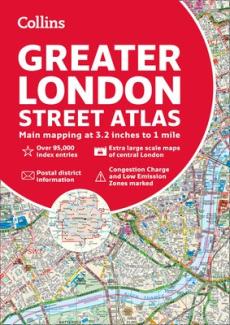
London pocket atlas
London pocket atlas
Veiledende pris
kr 59,00
Under opptrykk
ISBN/Varenr
9780008370022
Inngår i din bokpakke
Omtale
This fully updated atlas features clear Collins street mapping of Central London and the surrounding area. Coverage is from Chiswick in the west to Barking in the east, and Hampstead in the north to Dulwich in the south. Scale is 1:20,000 (3.17 inches to 1 mile). Coverage of Central London is at 1:12,500 (5.1 inches to 1 mile).
Produktinformasjon
- ISBN/Varenr: 9780008370022
- Utgivelsesdato: 06.02.2020
- Utgivelsesår: 2020
- Forlag: HarperCollins Publishers
- Innbinding: Heftet
- Språk: Engelsk
- Personer: Collins Maps
- Aldersgrense: 0
- Opplag: 0
- Utgave: 0
- Illustrert: Nei
- Sider: 144
Andre bøker av samme forfatter
Merk produktene som skal legges i handlekurven
-
 Collins world atlas: paperback edition
- Collins Maps
- 9780008696092
- Engelsk
- 10.10.2024
- Heftet
kr 171,00I salg -
 Collins world atlas: complete edition
- Collins Maps
- 9780008696061
- Engelsk
- 10.10.2024
- Innbundet
kr 574,00I salg -
 2023 collins big road atlas britain
- Collins Maps
- 9780008528744
- Engelsk
- 09.06.2022
- Heftet
kr 198,00I salg -
 Collins world atlas: essential edition
- Collins Maps
- 9780008436179
- Engelsk
- 14.04.2022
- Heftet
kr 203,00I salg -
 Collins essential road atlas europe
- Collins Maps
- 9780008403966
- Engelsk
- 17.03.2022
- Heftet
kr 277,00I salg -
 Collins handy road atlas scotland
- Collins Maps
- 9780008447878
- Engelsk
- 03.02.2022
- Heftet
kr 129,00I salg -
 Collins handy road atlas ireland
- Collins Maps
- 9780008492564
- Engelsk
- 03.02.2022
- Heftet
kr 129,00I salg -
 Collins school atlas for trinidad and tobago
- Collins Maps
- 9780008403560
- Engelsk
- 28.05.2020
- Heftet
kr 105,00I salg


